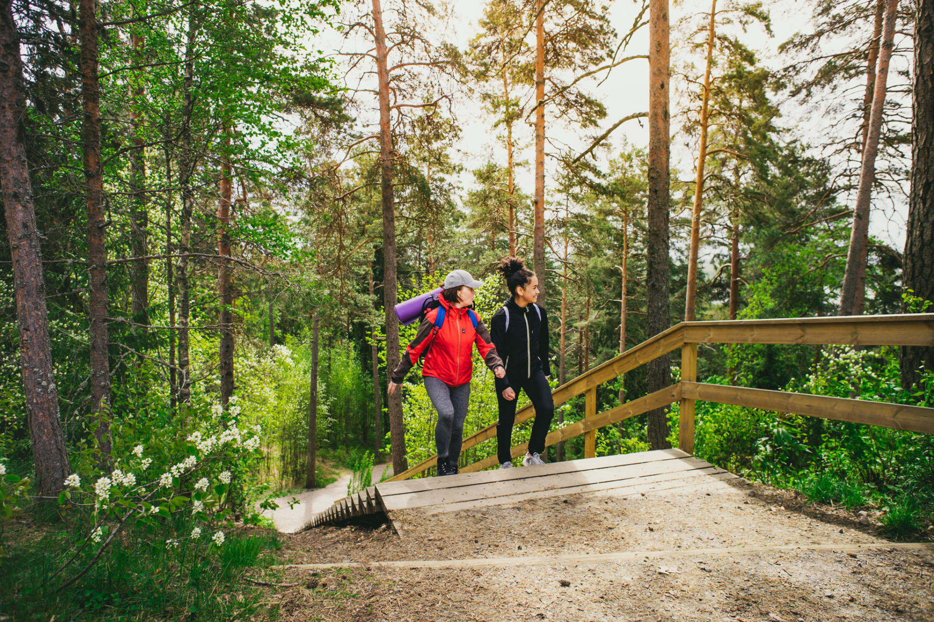
Kirkkoharju Hiking and Outdoor Area
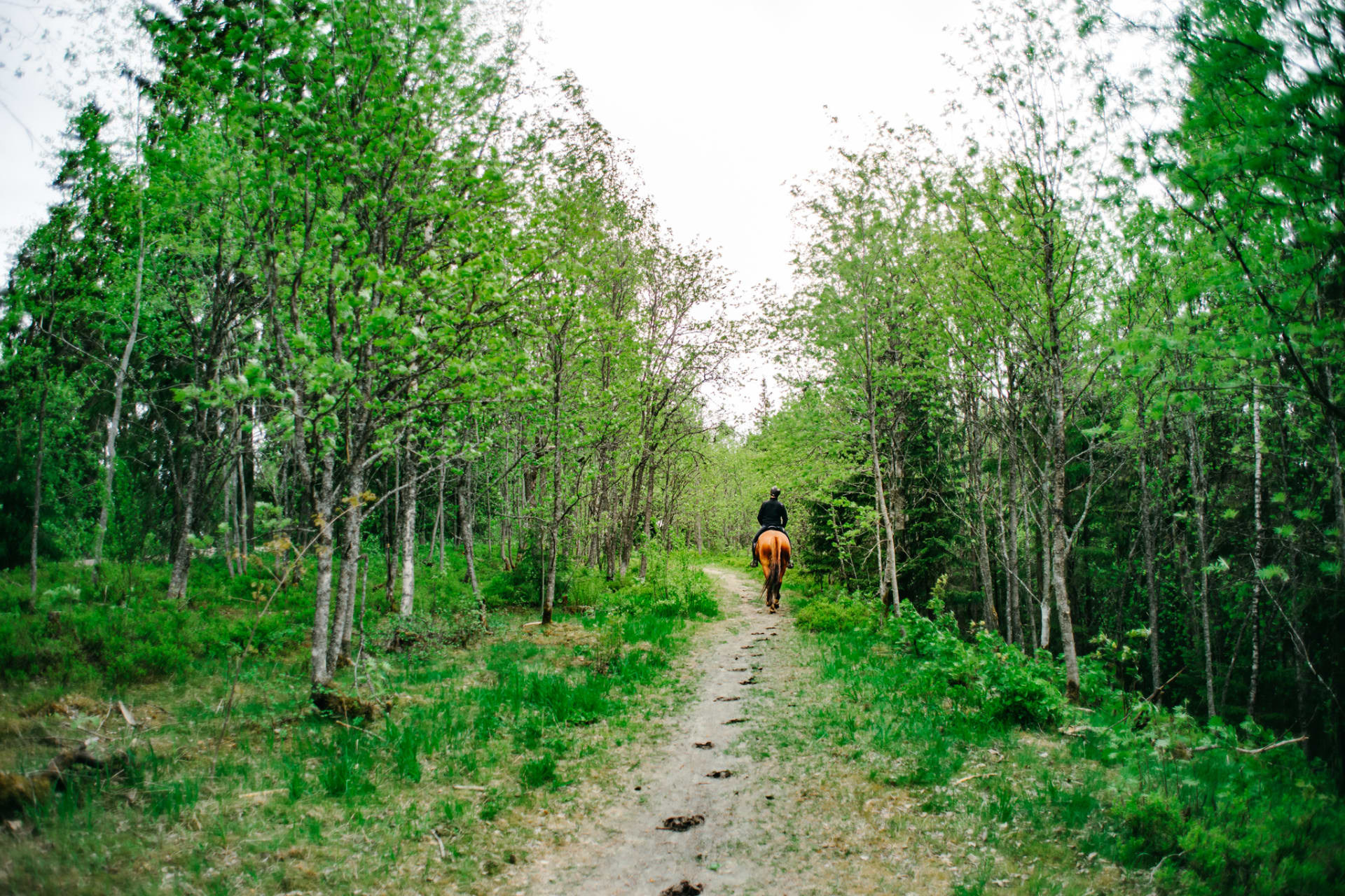
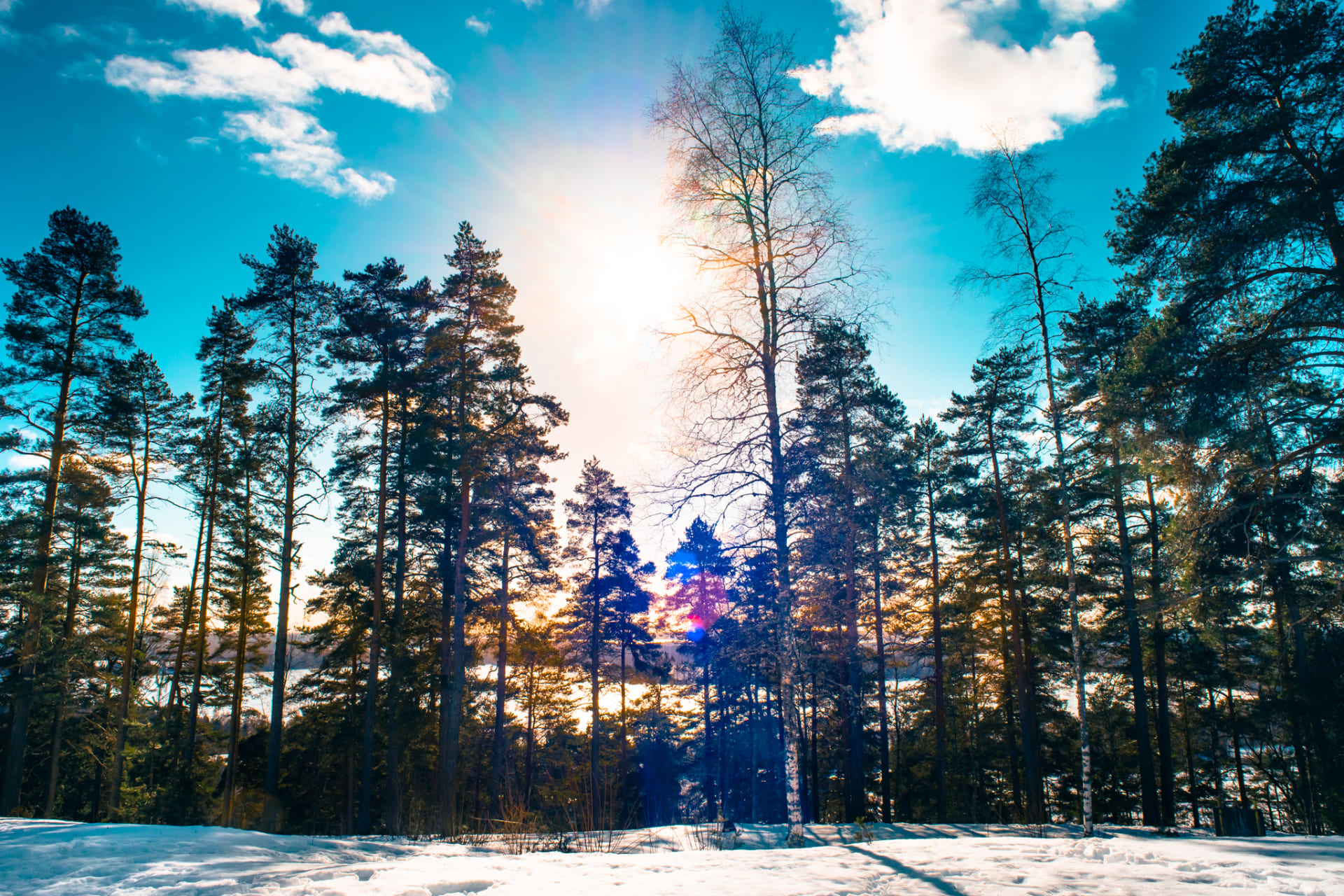
Kirkkoharju offers well-maintained illuminated trails and numerous forest paths for hiking. The area is popular among mountain bikers and trail runners, with marked routes also available for horseback riders. During winter, groomed ski trails attract skiers. The network of trails extends up to 20 kilometers away from Tampere, reaching Niihama and Kauppi.
Routes at Kirkkoharju
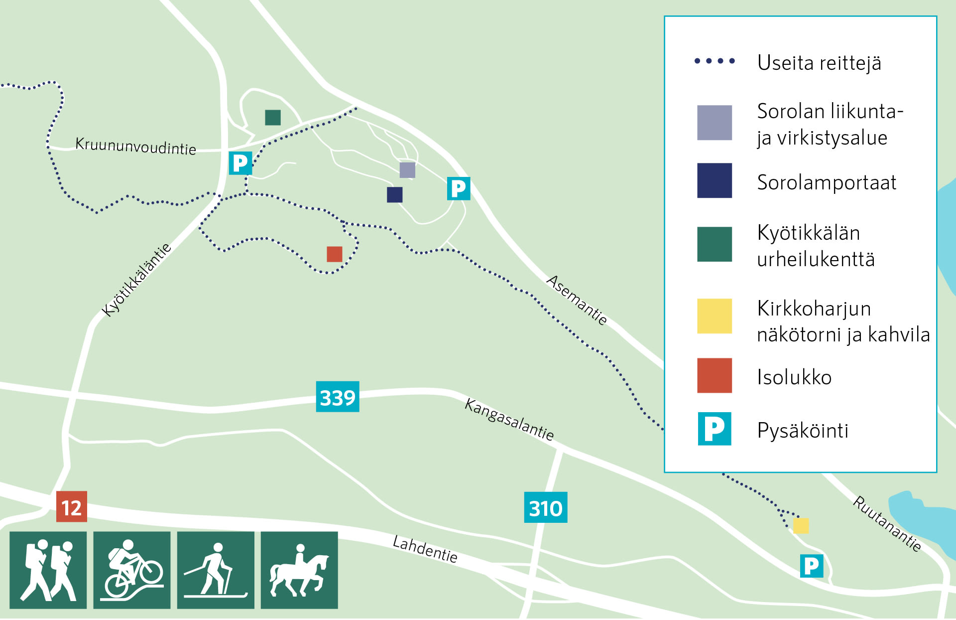
An approximately 8-kilometer route, suitable for beginners, runs from Kyötikkälä Sports Field to Kirkkoharju Observation Tower and back. Along the way, you’ll find Kirkkoharju’s natural attractions and Isolukko Nature Reserve. Visitors can explore traces left by the Ice Age and the diverse vegetation of kettle holes. Isolukko kettle hole, formed during the melting phase of the Ice Age, is a depression on the ridge about 30-40 meters deep.
A family-friendly nature adventure trail, approximately 4 kilometers long, starts from Kirkkoharju Café. Learn more about the nature adventure trail on the Kangasala city website here.
Near Kirkkoharju is the popular Sorola Outdoor and Recreation Area, highlighted by the 316-step fitness stairs, affectionately known as the Sorola Stairs. Sorola offers downhill and BMX tracks for cyclists, a popular first snow ski trail for winter enthusiasts, and a thrilling sledding hill. Visitors can take a break and enjoy snacks at Sorola’s kotalaavu (traditional Finnish lean-to shelter) and campfire site.
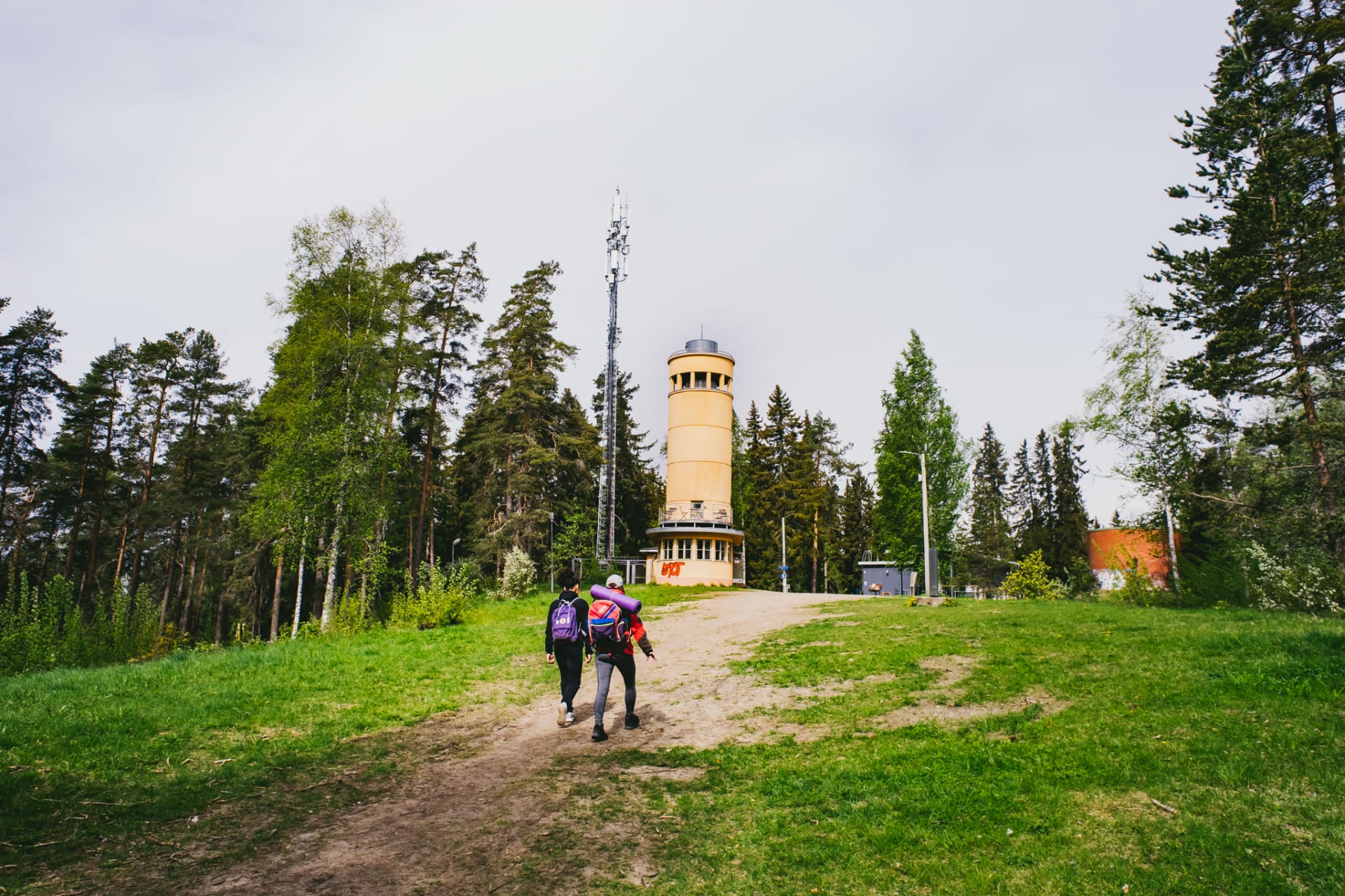
You can also enjoy a snack break at Kirkkoharju Café, located at Kirkkoharju Observation Tower. The distance from Sorola to Kirkkoharju Observation Tower and Café is approximately 3 kilometers.
Info
Route: Multiple options, e.g. approx. 4 km and approx. 8 km
Difficulty: Varies depending on the route. Well-maintained gravel roads suitable for strollers, among other things.
Starting point and parking: Kirkkoharju Observation Tower and Café at Tarpilankuja, Sorola Recreation Area at Asemantie 179, or Kyötikkälä Sports Field at Lätsä-Pekan tie 19.

